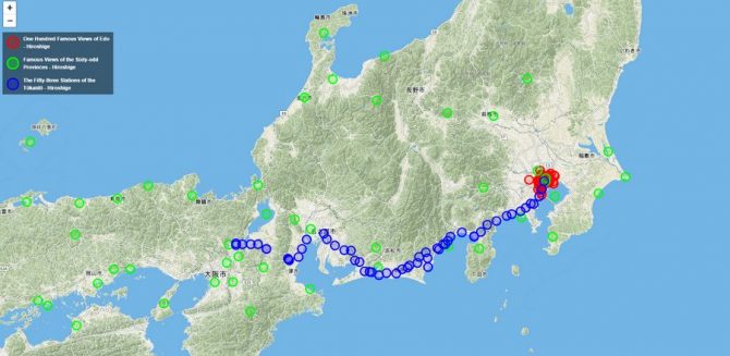
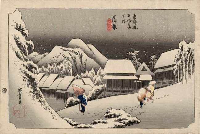
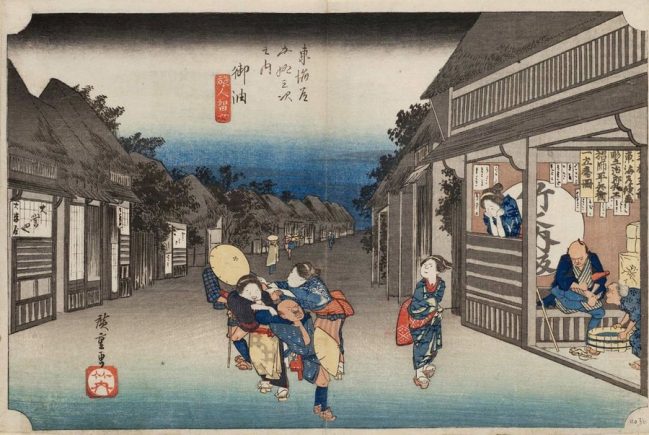
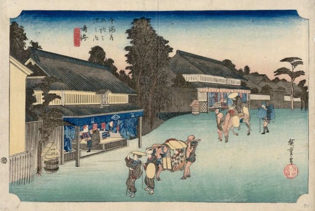
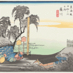
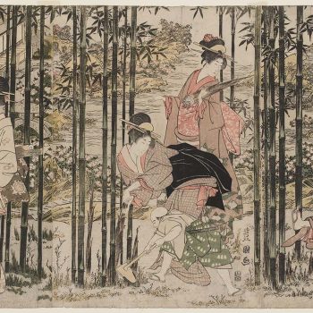
One of the most appealing aspects of Ukiyo-e, at least for me, is that many of them depict actual locations. In particular, Utagawa Hiroshige was known for his landscapes; the most famous being The Fifty-three Stations of the Tokaido, which was the result of a procession between Edo and Kyoto. Now, an online Open StreetMap called Ukiyo-e Map has plotted over 200 of Hiroshige’s prints on a map of Japan so you can pin down the exact location they depicted several hundred years ago.
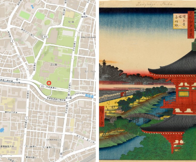
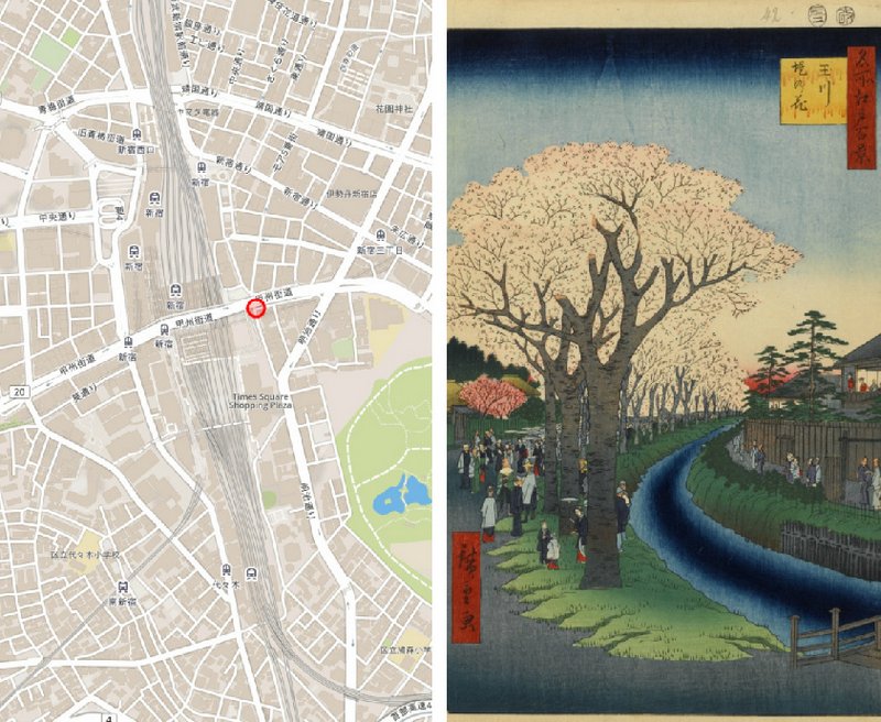
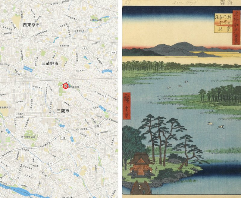
Currently, the map features Hiroshige’s “One Hundred Famous Views of Edo,” “Famous Views of the Sixty-odd Provinces” and “The Fifty-three Stations of the Tokaido.” Although much has changed, some roads, temples and lakes still exist to this day. It’s still fun to be able to explore the world of ukiyo-e by placing them in geographical context.
The map was created by a computer science undergrad who explained to us that they would love to continue to improve the map by adding other series. If anyone has any good data on locations, or any feedback in general, feel free to ping the twitter account @Cascadesssss.
(thanks to John Resig of Ukiyo-e.org for spotting this map)


January 24, 2019 at 6:30 am
Thanks for the feature, this response has been insane!
February 4, 2019 at 6:47 pm
Very interesting to read thank you. I live in Bend Oregon USA and have some scrolls to sell but don’t know where to have them appraised. How does one do this?